

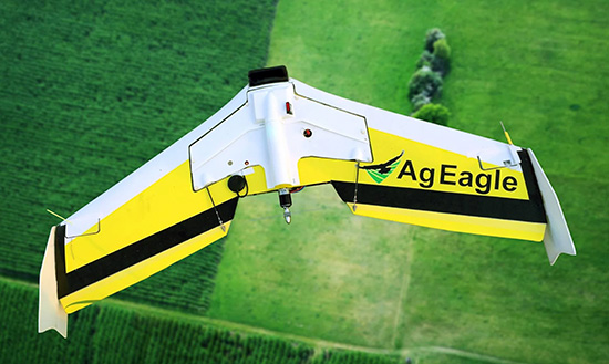
Wing has teamed with AgEagle Aerial Systems company Measure to integrate OpenSky, Wing’s airspace access app, into Measure Ground Control, a software platform for automating drone operations workflows. OpenSky makes it easy for drone flyers to abide by airspace rules and regulations and request authorization to fly in controlled airspace in near real-time wherever OpenSky is available.
Measure will utilize Wing’s OpenSky API to help users to determine where they can fly and plan flight missions. If users need to request flight authorizations for a specific mission, they will be sent through to the existing OpenSky app to do so, before returning to the Measure app where they can fly their mission, collect and analyse data.
OpenSky allows recreational or commercial drone flyers to check airspace information to see where they can and cannot fly, request authorizations from the regulators where it’s required, and manage and log their flights and permissions to their pilot profile. OpenSky provides near-real-time authorizations for drone flyers wishing to operate in controlled airspaces via the FAA’s LAANC’s program and Australia’s Automated Access Authorizations Trial and can enable authorizations in seconds. OpenSky is available for free in the U.S. and Australia and can be downloaded from Google Play or the App Store. An API for OpenSky has been developed that allows companies like Measure to make OpenSky available to its own users through their own app.
Brandon Torres Declet, CEO of AgEagle, stated, “It is AgEagle’s goal to deliver only best-in-class, full stack drone solutions to the market. In this regard, integrating OpenSky from Wing into Measure Ground Control is expected to materially enhance the capabilities and underpinning value proposition AgEagle offers to our enterprise and government customers, which require accurate situational awareness to safely and compliantly operate their drone programs in the U.S. airspace.”
“We built OpenSky because we believe it is paramount that everyone be able to access the sky safely,” said Wing’s Head of UTM Reinaldo Negron. “Since we launched OpenSky, it has been used by tens of thousands of operators to find out where they can safely fly and request necessary authorizations.”
For more information visit:
