


Belgian traffic management company skeyes has added new features to its Droneguide platform to provide drone operators with information about where and when they can fly.
Conditions for accessing UAS (Unmanned Aircraft System) geographical zones are directly available on the Droneguide platform. skeyes has improved the service provided to drone users, in collaboration with the Belgian Civil Aviation Authority (BCAA) of the FPS Mobility and Transport, to enhance the safety of all airspace users.
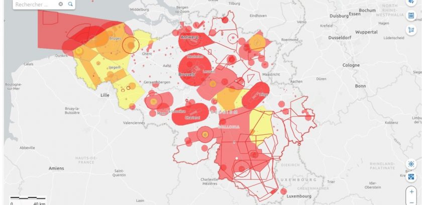
The Droneguide platform, which is intended to help drone users define where they can fly in Belgian airspace and under which conditions, is available on the map.droneguide.be website. In particular, it allows them to find out about the UAS geographical zones published in Belgium, in application of European legislation.
Additional services will be provided to drone users. Besides a direct availability of the conditions for accessing UAS geographical zones, drone users will also be able to download all information relating to UAS geographical zones in a digital format. This information relates to their geographical limits, access conditions and validity period. For accessing the Droneguide platform, drone users must always browse the droneguide website.
These new features had to be implemented before 31 December 2021 in accordance with European legislation. Due to the importance of these features for drone users, skeyes and BCAA did not wait for this deadline to make them available.
Johan Decuyper, skeyes CEO: “Our top priority is to ensure the safety of all airspace users and we have an important role to play in integrating drones into this airspace. By delivering new features to drone users, we provide them with ever better services while enhancing air safety.”
For more information visit: