

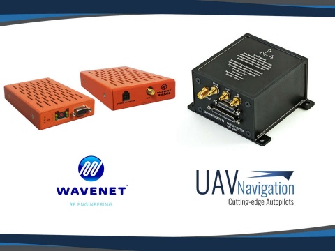
UAV Navigation reports successful extended range flight beyond 300 km using its VECTOR autopilot and UHF data link designed by WAVENET RF Engineering. In the testing phase, the quality of the link was proven, even under adverse conditions, according to a company press release.
UAV Navigation says successful BVLOS (Beyond Visual Line of Sight) operations depend upon a number of factors. Firstly, a robust communication network between an unmanned aerial vehicle and the ground control station. This facilitates the reception of information from the various subsystems in the aircraft, such as cameras and transponders, and enables the operator to make quick and effective decisions during a mission. In addition, real-time monitoring of the platform is critical to evaluate the risk involved in the mission and to ensure flight safety. In the same way, secure transmission of telemetry through encrypted data is essential to prevent attacks and interferences.
Apart from the size, power consumption, work frequencies, and available bandwidth, UAV Navigation identifies one more key parameter that must be taken into account: secure data transfer. When choosing a radio link, it is important to make the decision based on the data link’s ability to seamlessly transfer data, without any loss of information. The visualization of the status by the operator and the quality of the link is important in order to take preventive actions before the aircraft is seriously damaged. UAV Navigation’s Visionair mission control software includes a panel that displays data transmission statistics.
For more information visit:
www.uavnavigation.com/company/news-and-events/
