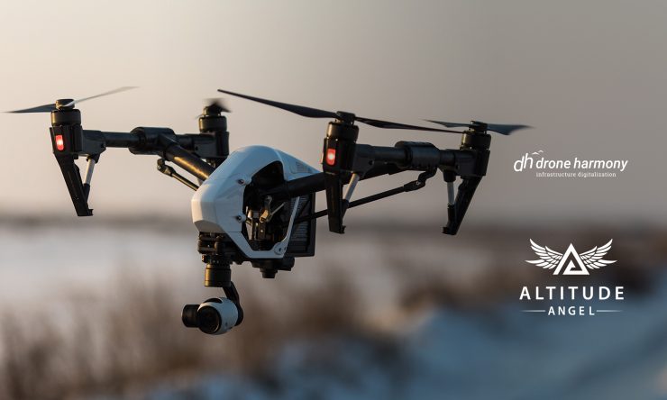
Software company Drone Harmony has chosen to embed Altitude Angel data in its flight mapping solutions. Drone Harmony’s data capture platform is designed to enable enterprises to capture quality data of infrastructure assets. The company will draw on Altitude Angel’s GuardianUTM system for accurate, real-time, and relevant geospatial data.
Drone Harmony‘s 3D data capture platform consists of fully integrated mobile and web applications and cloud service. It is designed to be globally deployable, easy to incorporate into enterprises’ infrastructure workflow and supports widely available ‘off-the-shelf’ drones. The enabling technology is an automated mission planning capability that exploits GIS, CAD, and shapes data about the inspected asset’s geometry and its environment to generate and execute safe and optimised data capture missions in complex use cases. The platform incorporates a full 3D working interface.
For more information visit: