


UK drone specialist Blue Bear reports completion of the second phase of the 18-month 5GRIT project, culminating in drone flights on an arable farm in Yorkshire and a livestock farm in Cumbria, controlled over 5G from hundreds of miles away in London and Bedford.
The UK’s 5G Rural Integrated Testbed (5GRIT), supported through the Department for Digital, Culture, Media and Sport (DCMS), is a partnership of SME and Academia from across the UK. The 5GRIT consortium set out to explore and assess the benefits that could be gained through deployment of shared spectrum radio 5G enabled capabilities within rural communities, where connectivity is typically constrained.
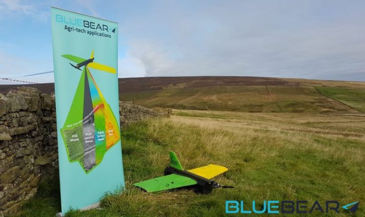
Under the project, a range of ‘rural focussed’ applications were assessed, this included tourism and Agriculture. Blue Bear focussed on the Agri-Tech applications, specifically the utilisation of 5G connectivity to support Drone operation in support of both ‘livestock’ and ‘arable crop monitoring’ use-cases.
Blue Bear, working in partnership with Precision Decision (Agronomy insights) and Kingston University (AI based data analytics), captured RGB and multi-spectral imagery of wheat crops from a UAV throughout the growth cycle, with imagery transferred directly from the field back to remote servers (at Kingston University) for analysis. Machine learning algorithms were used to assess and detect evidence of weed growth and crop health. The crop health was monitored utilising multispectral imagery and producing various derived information such as NDVI. The ability to send the data back over the 5G network to remote servers allowed the large amounts of imagery data to be rapidly processed and sent back to the operator in the field in less than 1 hour.
The second use-case focussed upon real-time drone-based livestock survey. The final phase of the project conducted extensive flight trials in Alston, Cumbria. During these trials, we demonstrated the ability to survey large remote areas (across an upland farm site) and utilise machine learning/AI techniques to automate the process of livestock detection in support of health monitoring, counting and identification, and grazing patterns (specifically focussed upon sheep).
Blue Bear reports a number of achievements under the 5G project, and a range of benefits to the agritech sector have been identified as a result, including :
- Blue Bear demonstrated the first long-distance command and control of drones over 5G, controlling the drones in Cumbria from over 200 miles away in Bedford and 300 miles away in London. A safety pilot in visual line of sight with the drone was always in the loop, but this paves the way for future BVLOS operations in remote areas from a centralised mission control centre.
- Transmission of large multi spectral imagery data sets, typically in the range of 10GB to 20GB were sent over 5G to remote servers for rapid processing, proving that 5G data transfer speeds can significantly increase the amount of data that can be sent from rural areas.
- The ability to have the data rapidly processed and the derived intelligence sent back to the farm in less than one hour paves the way for real time decision making on drone acquired crop data.
- The ability to monitor livestock in remote areas of land, reducing the time farmers need to spend travelling to these remote fields to routinely check on their livestock, and the rapid detection of any problems with the livestock helps to decrease any loss of livestock through injury and ill health. Tracking patterns of behaviour for the animals, and also linking this back to the multispectral data of the grazing land allows for better assessment and potentially increasing the yield through better pasture management.
- Production of 3D terrain maps and building models of the farms, allowing assessment of structures such as stone walls, fences, woodland and other farm infrastructure.
Ian Williams-Wynn, Managing Director of Blue Bear commented: “We will be utilising the lessons learnt from the 5GRIT project to inform and support future regulatory development for BVLOS flights, and how this technology can support BVLOS drone operations in unsegregated airspace in the National Beyond Visual Line of Sight Experimentation Corridor (NBEC).”
The full 5GRIT consortium partners included Blue Bear, Cybermoor, Kingston University, Lancaster University, North Pennines (AONB), Precision Decisions, Quickline and WAM (World Around Me). Together we delivered an outstanding project deploying and linking 5G testbeds in a range of areas of the UK including London, Bedford, Lincolnshire, Yorkshire, and Cumbria. The consortium demonstrated applications that enhanced agri-tech, tourism, rural connectivity, and pushed the boundaries of data processing and rapid data dissemination of derived intelligence. The demonstrations showed that 5G technology can provide significant benefits to rural communities.
For more information visit: