

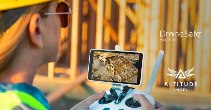
Unmanned traffic management (UTM) technology provider Altitude Angel is adding its map data to the Drone Safe Register platform in order to provide drone operators with airspace information. The partnership allows drone operators to access Altitude Angel’s Airspace Map and Area Reports API on the Drone Safe Register platform.
Drone Safe Register provides consumers and businesses with a platform to locate and engage with commercial UAV operators for specialised operations; from aerial photography and filming to surveying and mapping. The register has over 500 registered users. By partnering with Altitude Angel, pilots and operators will be able to use the Drone Safe Register as more than a directory in which to be listed and to receive business opportunities. Through the integration of Altitude Angel’s operational data, drone pilots can search the area and airspace over which they’ve been contracted to fly through Drone Safe Register directly. This provides them valuable information such as ground hazards and possible airspace restrictions e.g. NOTAMs, making for a safer and more efficient operation. They will then also be able to access a comprehensive report outlining hazard ratings, thereby enhancing their understanding of the airspace they are operating in prior to the flight planning phase.
For more information visit:
