

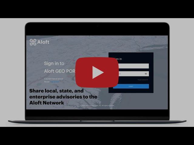
Unmanned Traffic Management (UTM) company Aloft has launched Aloft Geo Portal: a free tool to publish airspace and ground-rule advisories to the Aloft data network including B4UFLY. According to the company, the portal represents a major step forward in filling a gap in the integration of drones: by offering authoritative sources for local drone ground rules.
Verified users of the Aloft Geo Portal will be able to upload and manage airspace and ground space advisories that once authenticated, will publish to the Aloft UTM platform. The service is starting in the US before expanding globally in the future.
“We’re connecting the dots between drone operators, local governments, and comprehensive rules of operations to the largest and most active drone flight data network. As it exists today, there’s a major information awareness gap in the industry and for drone pilots everywhere that makes compliance elusive. Aloft aims to solve this problem as this is a missing piece for UTM systems across the globe,” said Jon Hegranes, Aloft CEO and Founder.
The portal is live now and accepting submissions at https://geo.aloft.ai.
It is free to upload, manage and update advisories.
For more information visit:
