


UAV Navigation has added Visionair, a new traffic visualization tool, to its UAV autopilot system which can be used to support UAS traffic management systems identify risks and recommend actions. It is an all-in-one UAV Navigation’ standard Ground Control Station (GCS) software for configuring, planning and executing UAV missions.
“The UAV autopilot (FCC) is a key part of the unmanned traffic management system and its integration in the controlled airspace as it is the core of the platform’s flight control system. The VECTOR range of autopilots receives the information from the transponder IN and represents this real-time data to the GCS Software permitting UAV operators to have surrounding air-traffic information. Thanks to this information, the operator will be able to execute evasive action in case any aircraft approach or have a crossed trajectory with the aircraft sensed, avoiding hazardous situations. In the same way, the autopilot, by means of the transponder, will send information about its speed and location in the airspace to surrounding aircraft creating collaborative airspaces.
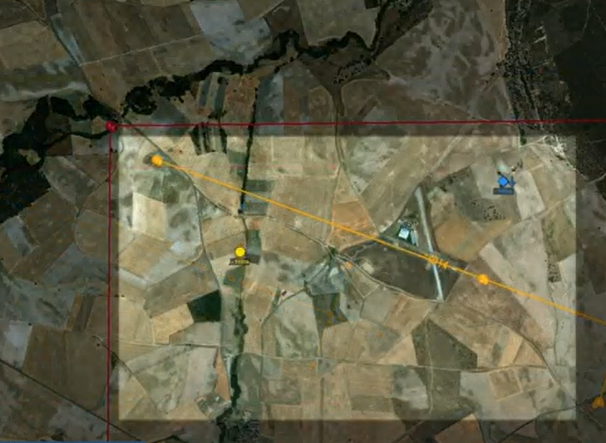
“The system developed consists of an intuitive interface where the icons of surrounding aircraft have a different shape and color depending on the response time. Additionally, the system displays an indicator of the vertical speed so the operator will see their situational awareness improved.”
For more information
https://www.uavnavigation.com/products/ground-control-station/visionair-gcs-software