


DFS Deutsche Flugsicherung and Droniq have announced the launch of the new TraX app, which combines mission planning in a mobile application that integrates regulatory guidance, live airspace awareness, and active visibility.
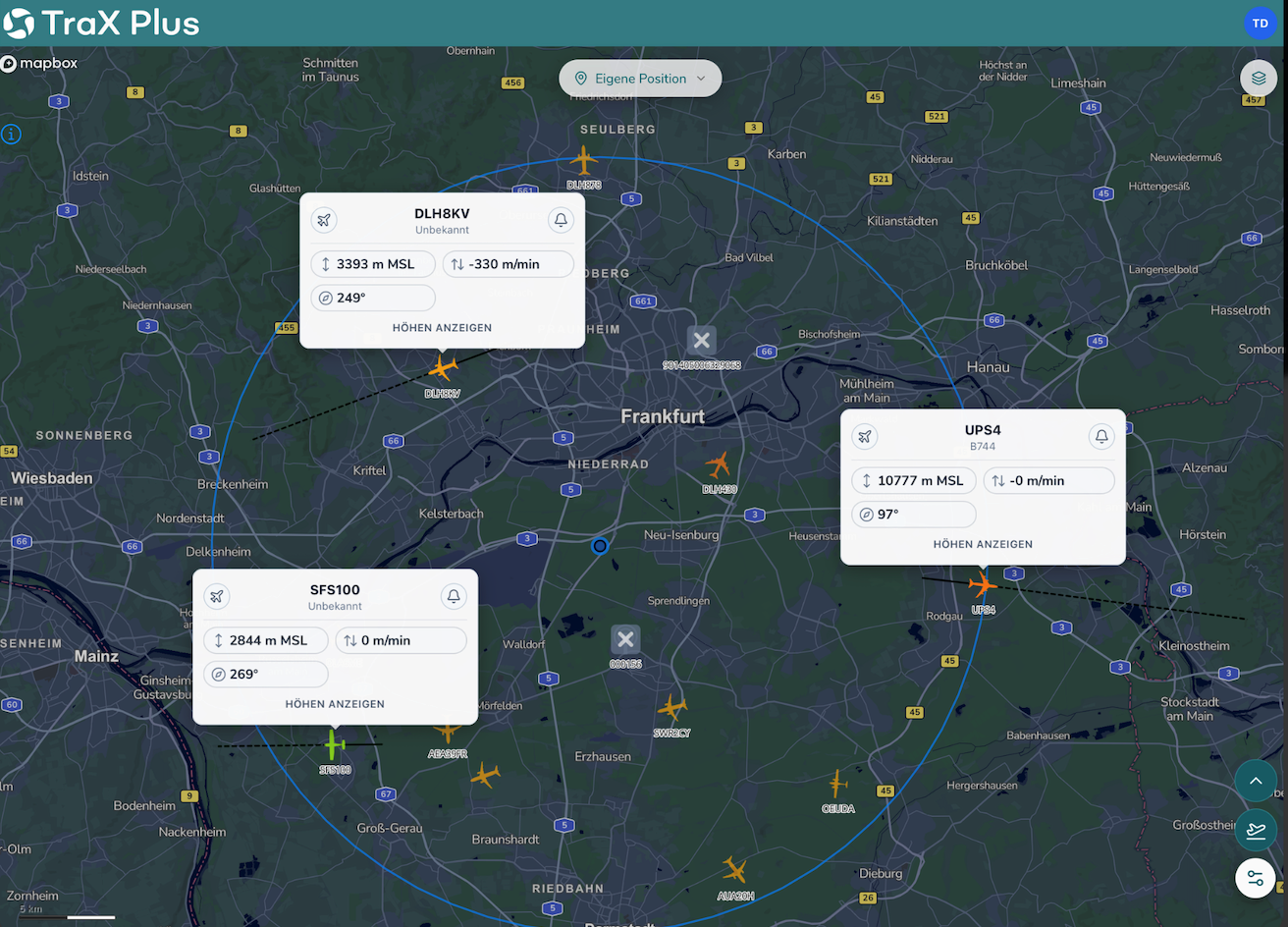
“Currently the only app of its kind, its live airspace view was specifically developed to provide a comprehensive representation of low-altitude air traffic, creating a situational picture tailored specifically to this sensitive airspace,” said the companies in a press release.
“Visibility is the foundation of safety in low-altitude air traffic,” says Jan-Eric Putze, CEO of Droniq GmbH. “Making legitimate flight movements transparent improves situational assessment in the airspace, provides orientation for operators and other airspace users, and supports responsible and sustainable drone operations.”
TraX replaces the previous Droniq Maps application and expands its approach from pure flight planning toward a stronger focus on visibility and operational transparency. The app is available for free download on the Apple App Store and the Google Play Store.
“As unmanned aviation increasingly uses low-altitude airspace, transparency is becoming a critical safety factor,” says Arndt Schoenemann, Chairman of the Executive Board of DFS Deutsche Flugsicherung GmbH. “Visibility is an essential prerequisite for enabling legitimate use while improving the assessment of risks posed by non-cooperative drones.”
Against this backdrop, Droniq sees its role in actively shaping operational sovereignty in low-altitude airspace. Its goal is to create the foundation for safety, situational assessment, and legitimate use through greater visibility.
For more information
https://droniq.de/en/