


AirHub has been assisting water authorities in the Netherlands as the summer drought increases workload for inspectors.
On 7 August, the Dutch Union of Water Boards said 11 out of 21 water authorities in the country were running increased inspections to check for cracks and signs of drought in the country’s network of dykes.
Together, these inspections span extensive distances with teams having to cover the ground more than once in order to make comparisons.
“Drones do not spot cracks in a peat dyke better than an experienced inspector,” AirHub acknowledges, but drone operations help plan wider inspections and save time.
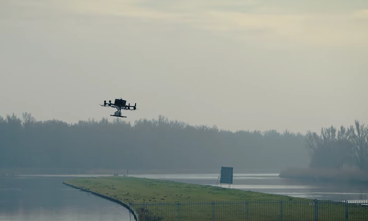
“Long linear assets are exactly the geometry drones suit, and the stretches that are awkward to reach on foot are awkward on every single round,”, the company explains. Inspectors at Zuiderzeeland water authority used to walk 20 minutes to a water quality sampling point. A drone now reaches the spot in two, navigating tall reeds and returning the sample to be tested. A mission flown from a saved plan repeats the same route, height and camera angles, linking together as a series and making patterns easier to spot.
When the water authority first decided to deploy drones to tackle this and similar challenges in the field, the operation grew quickly. Before long, multiple pilots were flying different drone types for a wide range of missions. Without a central system to manage and document all of that, it created additional burden.
A Zuiderzeeland drone pilot said AirHub has improved the way of working because everything can be done in one system. “We are no longer dealing with all sorts of separate systems or Excel files. Everything is logged automatically, and we no longer have to do flight preparation anywhere else.”
For more information
Image: AirHub