


The GEOSAFE project funded by the SESAR Joint Undertaking successfully demonstrated the three tiers of geofencing, as outlined under EU-wide rules adopted by the European Commission earlier this year. As part of these rules, EU Member States can define designated no-fly zones where drones are not allowed to enter, including airports, airfields, and city centres. GEOSAFE tested three levels as part of its research into development and testing of foundational and advanced geofencing services. The pre-tactical level is a core competency set forth in U1; tactical is a competency aligned with U2; and dynamic is an advanced competency required by U3.
On 10 October 2019, AirMap, SPH Engineering, Aeromapper, and other GEOSAFE partners convened in Pourrières (Var), France, and simulated a search-and-rescue operation to locate a missing hiker. Firefighters employed a drone to assist with the operation and created a temporary restricted airspace around the search vicinity. Two drones hovered outside the restricted airspace boundary, while the search-and-rescue drone and a participating helicopter hovered inside. Firefighters’ goal: to contain the search-and-rescue drone to the restricted airspace so it could execute its mission, and to keep other civilian drones out.
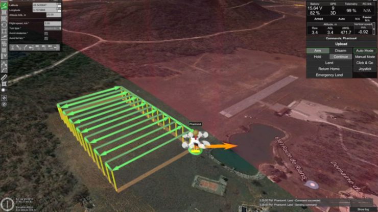
To demonstrate pre-tactical geofencing, SPH Engineering’s UgCS application used the AirMap Developer Platform APIs to visualize airspace restrictions, including the presence of a no-fly zone, prior to take-off. This allowed the drone operator, Aeromapper, to create a flight plan that did not conflict with the no-fly zone. While pre-tactical geofencing is not a comprehensive solution, it provides contextual, localized airspace geometries and rules to drone operators in advance of their missions.
AirMap and SPH Engineering also demonstrated tactical geofencing, a capability required by U2. As the drone entered the restricted search area, the AirMap UTM platform delivered a real-time notification to the drone operator through the UgCS application, alerting the operator to the presence of the no-fly zone. In addition to notifying operators via real-time geofencing alerts, AirMap’s pilot application also offers an opt-in function that enables operators to actively prevent a connected drone from entering prohibited airspace.
Dynamic geofencing, as outlined in U3, allows airspace managers to dynamically create and distribute geofences to connected operators for real-time flight path adjustments. During the demonstration, the AirMap UTM platform created a geofence at the boundary of the no-fly zone as the drone approached. That information was immediately distributed to the UgCS ground control station, enabling the drone operator to take action to prevent the drone from entering the no-fly zone and reroute it on a new flight path.
Key takeaways from this and other SESAR Joint Undertaking projects will inform the European Commission of best practices for integrating drones into European airspace. GEOSAFE participants include AirMap, SPH Engineering, Aeromapper, Atechsys, Air Marine and Thales.
For more information visit: