


The United States National Oceanic and Atmospheric Administration (NOAA) is using beyond visual line of sight (BVLOS) unmanned flights to collect data and meet mission requirements.
At NOAA, all uncrewed aircraft operations are required to conduct operational risk management assessments and receive flight authorisation that are compliant with the Federal Aviation Administration (FAA) and NOAA-specific regulations. In this authorisation process, NOAA personnel work with the NOAA Uncrewed Aircraft Systems Division to establish visual line of sight parameters. NOAA uncrewed aircraft operators and its Uncrewed Aircraft Systems Division have been granted FAA-approval to fly BVLOS in remote environments and at altitudes well above commercial/crewed flights. Consequently, NOAA is able to gather data in regions that would otherwise not be sampled.
For example, the NOAA Global Monitoring Lab obtained FAA-approval to fly its uncrewed aerial glider BVLOS at altitudes of 90,000 feet in northeastern Colorado. The glider, assisted by a standard weather balloon, carries sensors and air sampling technology to the edge of space and allows for atmospheric monitoring to occur at altitudes crewed aircraft cannot reach. The glider can then be programmed to return to a specific location. The Lab team demonstrated the success of this BVLOS uncrewed operation in the summer of 2023.
In the Arctic, NOAA is partnering with NASA to fly long-range, fixed-wing uncrewed aircraft BVLOS to monitor marine mammal populations in areas that are logistically challenging and higher risk to survey via crewed flights. And in the Antarctic, NOAA flies BVLOS flights to increase the extent that researchers can cover for penguin population surveys.
With the right technology and flight environment, NOAA is also able to increase the length of a sampling period through BVLOS operations. The NOAA Pacific Marine Environmental Lab is exploring the use of uncrewed systems – capable of flying for over five hours while carrying science payloads – to develop more efficient and extended ways to sample aerosol and cloud properties.
For more information
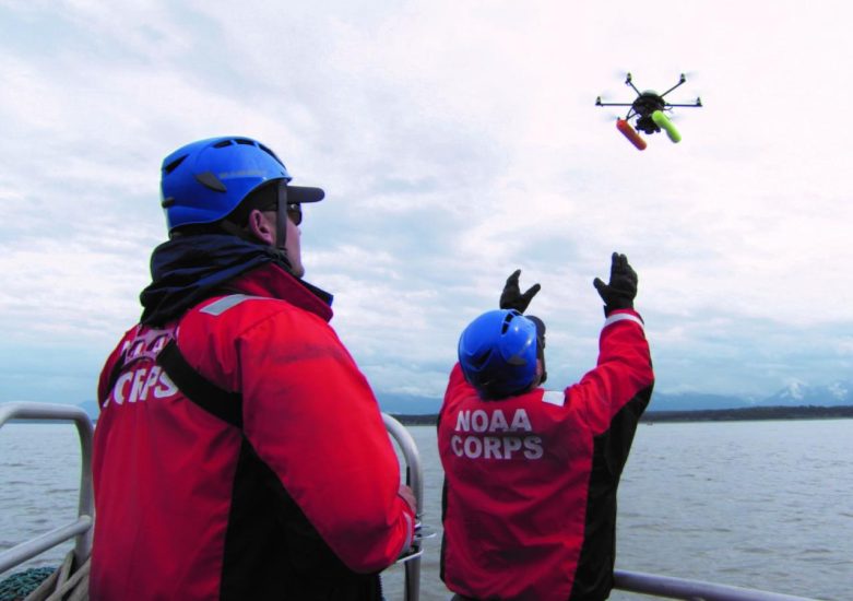
Image: NOAA Corps officers launch a hexacopter drone used to photograph Beluga whales in Cook Inlet, Alaska (NOAA)