


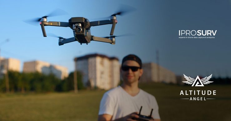
Survey and inspection provider, Iprosurv, has opted to embed Altitude Angel’s market leading data in its flight mapping solutions.
According to the Altitude Angel press release, Iprosurv will embed Altitude Angel’s pioneering Airspace Map, DroneSafetyMap, within its internal pilot portal to provide Iprosurv’s network of UAV operators with a ‘one-stop-shop’ platform for assessing the risk associated with each operation prior to arriving on site. A detailed area report and hazard score will also be generated through Altitude Angel’s Area Report API, providing safety information crucial for ensuring safety and mitigating risk.
The platform will also assist the drone operators in submitting flight reports and will enhance visibility of drone operations through Altitude Angel’s GuardianUTM, as Iprosurv expands its operations across the UK and internationally.
Iprosurv promotes and implements drone applications and has a drone pilot contractor network comprising of field experts from across the UK.
Rebecca Jones, Iprosurv, founder and Chief Executive Officer, said: “As a national provider of drone services, Iprosurv needs to play its part in promoting the safe operation of drones by working with regulators and industry professionals. As part of that, we were looking for a partner who could provide accurate real time data to enhance our proposition in a way which not only complies with current regulations but helps shape future ones, and Altitude Angel ticked all the boxes.”
For more information visit: