


Geospatial, developer of the TerraLens Geospatial Soft Ware Development Kit (SDK) and Flirtey, a commercial drone delivery company, have announced today that the Kongsberg Geospatial IRIS airspace situational awareness application has been implemented by Flirtey within their autonomous software platform that conducts BVLOS autonomous flight operations. Flirtey has conducted more than 6,000 flights to date. Flirtey recently announced that it had completed the technology to certify and expand U.S. production of its autonomous drone delivery system for last-mile delivery.
According to a press release, the Kongsberg Geospatial IRIS airspace visualization technology enables multiple drones and sensor feeds to be monitored simultaneously by a single remote operator and provides real-time calculation of aircraft separation and communications to enable BVLOS operations. Built on Kongsberg Geospatial’s TerraLens SDK, IRIS provides advanced real-time 2D and 3D visualization of all airborne track and weather data, as well as cues, alerts and warnings to enable a single operator to monitor the complex airspace environment.
Flirtey is focused on completing the FAA’s certification process, in addition to scaling its operations in New Zealand (where the company’s technology already has regulatory certification) and expanding US production of delivery drones to meet growing demand, says the press statement.
For more information
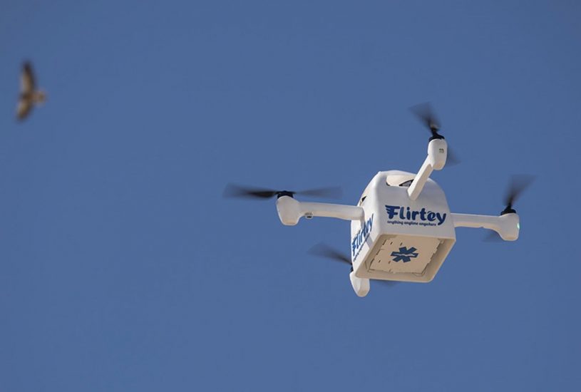
(Image: A Flirtey Eagle unmanned aircraft is shown in flight making a medical delivery. Kongsberg Geospatial’s IRIS UxS has been implemented within Flirtey’s software platform for autonomous flight operations)