

Smart farming company anyA and drones-as-a-service company Droniq have partnered to offer German farmers a new more cost effective and efficient way to monitor crops to identify indicator species.
“The identification of indicator species is part of a German regulation which has been in force since 2023 that aims to protect biodiversity,” according to a joint company press release. “If a farmer can prove the presence of at least four indicator species on their grassland, they are eligible to receive subsidies. These can reach EUR450 per hectare, depending on the German Federal State and the number and type of indicator species. The scheme is part of the EU’s Common Agricultural Policy (CAP) and runs from 2023 to 2028.
“Until the end of 2023, the identification of indicator species was mainly carried out manually. The farmer had to physically walk the grassland and photograph the indicator species. This is an extremely tedious process, especially for larger areas. Another major challenge was the obligation to provide proof.
“AnyA, a subsidiary of crop protection product manufacturer Sumi Agro Deutschland, and drones-as-a-service provider Droniq are working together to simplify this process. The collaboration is based on the interplay between drones and artificial intelligence (AI). The drone flies over the farmer’s land and takes high-resolution aerial photos. The AI from anyA analyses the data and identifies both the number and type of indicator species present. The farmer receives a report on the identified species after the aerial survey and can use it to apply for a subsidy.”
Brian Rawson, Project Manager anyA said: “The future of agriculture lies in digitalisation and smart farming. At anyA, we are the architects of agriculture.”
Droniq CEO Jan-Eric Putze added: “Together with anyA, we are demonstrating how the interaction between drones and AI can create sustainable added value for agriculture. We are extending our drones-as-a-service business and are now also represented in the agricultural segment with our expertise.”
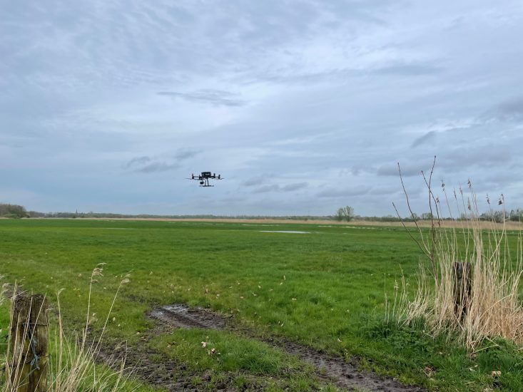
As part of the partnership, Droniq is responsible for the aerial survey process. In the first step, the farmer transmits the coordinates of the areas to be covered to anyA. Once the coordinates have been entered into the anyA system, a pilot travels to the farm and carries out the mission. Industrial drones equipped with a wide-angle camera are used for the flight. The drone automatically flies over the grassland at a height of around 22 metres and takes detailed high-resolution photos. Droniq utilises a Germany-wide network of certified drone pilots for the flights. If an additional permission is required to fly, Droniq also takes care of the entire application process for the farmer.
The information collected is then analysed with the help of anyA’s AI. AnyA stands for analytics of nutrition, yield and agronomy. The images received and the underlying visual information are analysed in conjunction with AI-based image analysis software. The farmer then receives a detailed summary of the indicator species on their land, including images and geocoordinates. This summary contains detailed information about the type and number of identified indicator species, as well as their exact location, which makes it much easier for the farmer to provide proof.
In addition to identifying indicator species, anyA is also working with the drone service provider Droniq to fly over agricultural areas. The same AI is also used here. At its core are high-resolution aerial images taken with the help of satellites and drones. After analysis by anyA, diseases, weeds, pests and nutrient deficiencies can be detected and localised.
For more information
https://droniq.de/en/
(Image: copyright Droniq GmbH)
