

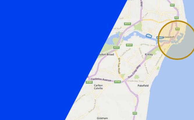
The maps on Altitude Angel’s flight planning platforms have been updated with new content from the NATS Visual Flight Rules database, the company announced on LinkedIn.
The update includes unlicensed aerodromes and heliports, such as Lowestoft. These sites are marked as ‘Areas of Increased Risk’ with a 1km radius around heliports and 3km around aerodromes.
Previously these areas were shown as ground hazards and could only be seen when zooming in.
For more information
