


Australia’s Department of Infrastructure, Transport, Regional Development, Communications and the Arts has released digitised drone maps to highlights rules for over 7,500 different areas managed by 15 different agencies, with more to be digitised in the future. Thanks to open data and a free application programming interface, these maps can be integrated into drone software applications to help with flight planning, reports the Australian Association for Uncrewed Systems (AAUS). As recreational and commercial drone flights are rapidly increasing, access to free digital and geospatial map of local laws will help increase awareness of and compliance with drone laws.
The first release shows rules around parks and corrections facilities for more than 7,000 different areas across Australia. These rules aim to preserve public amenity and limit environmental impacts or security risks. Cooperation across jurisdictions and portfolios on geospatial law data and an interactive map will help drone users understand what local rules (in addition to regulatory obligations) might apply to their flight plans.
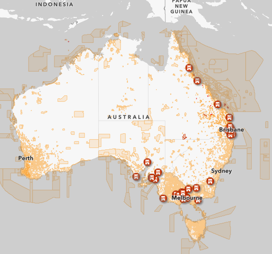
View the map here
For more information visit: