


3D geospatial data and intelligence solutions provider Intermap Technologies has announced a new contract with a leading unmanned traffic management (UTM) provider to integrate Intermap’s certified aviation terrain data to continue the development of an urban air mobility platform.
According to a company press release:
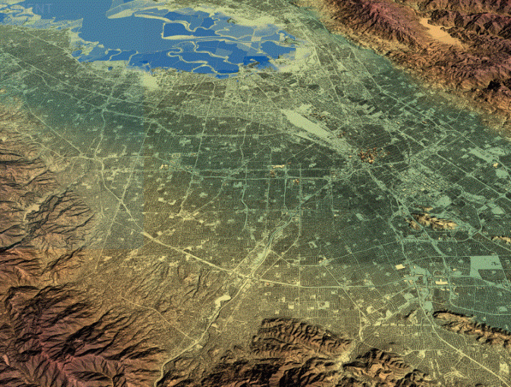
“Intermap’s NEXTView™ data enables electric vertical take-off and landing (eVTOL) aircraft to navigate in complex urban airspaces while maximizing safety and efficiency. Integrating NEXTView into UTM systems empowers operators to plan and execute eVTOL aircraft flights based on predetermined flight paths for efficient urban air taxi services. Intermap continues to grow in the urban aviation industry with this second contract for airspace management; the first was announced in October with Skyroads.
“Today’s client plans to launch commercial urban air taxi flights in Paris in time for the 2024 Olympic Games. Intermap is providing high-resolution terrain data for the Paris region to support this initiative and enable development of the urban air mobility ecosystem required for commercialization. NEXTView is certified by the European Union Aviation Safety Agency (EASA), making integration with urban air mobility ecosystems easier and simplifying its certification process with regulatory agencies in the EU.
“We are excited to support the growth of the urban air mobility industry with globally available, highly precise terrain data,” said Patrick A. Blott, Intermap Chairman and CEO. “Innovative companies that are developing urban air taxi services need precison data to support safe and efficient operations. NEXTView supports urban air mobility by providing developers and operators with critical flight data to design urban air routes.”
NEXTView is a high-resolution global terrain dataset designed for the aviation industry. Created in partnership with Lufthansa Systems, NEXTView provides the aviation industry with updated terrain data. NEXTView is the only aviation certified terrain data on the market that can be directly integrated into cockpit systems.
For more information
intermap.com/aviation-surface-data.