


Kongsberg Geospatial, an Ottawa-based geospatial visualisation software company, and Aerial Robotix, a UAS services provider in Nigeria operating in the oil and gas inspection services market, have announced that the Kongsberg Geospatial IRIS UAS situational awareness application has been utilized by Aerial Robotix to provide safety critical airspace de-confliction supervised by the Nigerian Civil Aviation Authority (NCAA) to enable conduct of long range BVLOS operations.
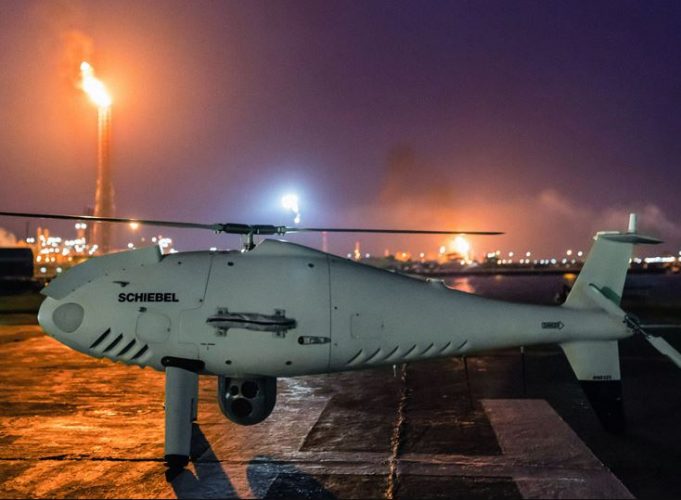
Aerial Robotix pilots are licensed and insured, and operate in harsh conditions using a variety of platforms ranging from small fixed-wing and quad-copter drones to large gas-powered rotary wing aircraft.
“Safe BVLOS unmanned flight operations require the very best in equipment and technology,” said Kolapo Sodeinde, CEO of Aerial Robotix. “We would not have received regulator approval from the NCAA or the client company to conduct BVLOS inspection flights without the Kongsberg Geospatial airspace deconfliction application.”
According to the company the Kongsberg Geospatial IRIS display technology enables multiple drones to be monitored simultaneously by a single operator and provides real-time calculation of aircraft separation, airspace monitoring and communications line-of-sight to enable BVLOS operations. IRIS integrates a variety of data feeds including ADS-B and radar to provide “detect and avoid” warnings. IRIS provides real-time 2D and 3D visualization of airborne track and weather data, as well as geo-fencing capabilities.
For more information