


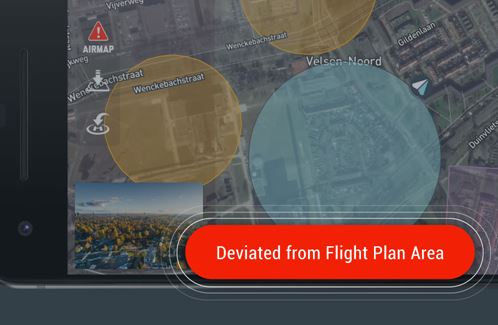
AirMap reports it has introduced Real-time Geocaging Alerts – with visual and auditory notifications when a drone flight deviates (or is about to deviate) from its flight plan, with estimated distance and time based on the drone’s real-time speed and positioning information – to its AirMap for Drones mobile app for iOS and Android.
“Just like Geofencing Alerts, Geocaging Alerts are both visual and auditory notifications,” says a company news release. “The difference is that Geofencing Alerts assist operators with conformance to airspace advisories and rules while Geocaging Alerts assist operators with conformance to a planned flight path…Version 2.5.2 of the AirMap for Drones mobile app also includes front and backend improvements to usability performance. Notably, operators now have direct access from the app to the AirMap status page for real-time status updates related to uptime and platform performance.”
For more information
https://www.airmap.com/mobile-app-update-real-time-geocaging-alerts-better-flight-conformance/