


According to the company
“Our solution aims to elevate the air mobility planning, design, and location scouting (real estate) process, enabling the integration of ground and airspace infrastructure for eVTOLs and drones. Our solution caters to professionals and enthusiasts alike, offering a user-friendly interface to visualize and understand the benefits and impacts of vertiports in our communities.
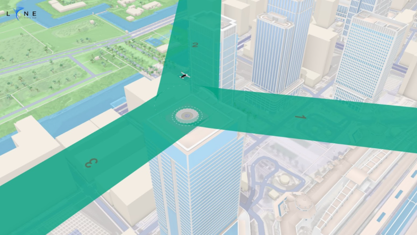
“LYNEports features infrastructure and flight path planning and regulatory adaptation, our solution ensures safe and context-aware planning for eVTOL aircraft landings, adapting to FAA and EASA regulatory guidance coupled with extensive map layers, offering crucial data on airspace, land use, topography, buildings, and more.
The platform allow urban and airspace planners to create a digital twin of the network, design approach funnels for flight obstacle assessment and plan the layout, take-off and landing area, and taxiway customization as well as incorporating multiple layers, including, aeronautical charts within a worldwide geospatial location simulation tool.
For more information