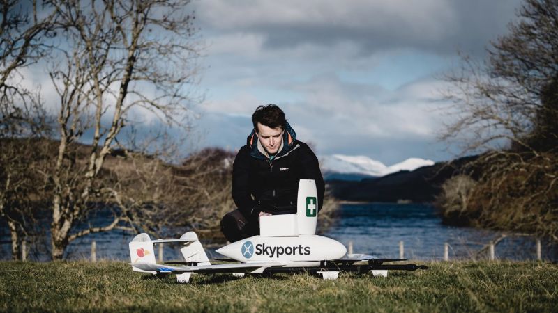
Drone operator Skyports has selected Kongsberg Geospatial’s IRIS airspace situational awareness application to enhance beyond visual line of sight (BVLOS) operations in the UK.
According to a Kongsberg Geospatial press release, the IRIS airspace visualization technology enables multiple drones and sensor feeds to be monitored simultaneously by a single operator and provides real-time calculation of aircraft separation and communications line-of-sight to enable BVLOS operations. IRIS also provides real-time 2D and 3D visualization of all airborne track and weather data, as well as cues, alerts and warnings to enable a single operator to understand the complex airspace environment.
“Using drone deliveries within supply chains can create significant time and cost savings, as well as enhance critical services such as healthcare,” said Duncan Walker, Chief Executive Officer at Skyports. “The incorporation of Kongsberg Geospatial’s unique technology will move us a step closer to implementing permanent drone delivery operations and underscores the viability of drone technology as a practical way to move goods, paving the way for wider AAM operations in the near future.”
“We’re very pleased to be working with an experienced UAS services provider like Skyports” said Ranald McGillis, President of Kongsberg Geospatial. “Their expertise in drone delivery flights between medical facilities in the Argyll & Bute region and their ability to manage large-scale projects provides an excellent and very unique use case for our technology.”
Skyports’ drone delivery services operate in the UK and other locations. Recent projects include the UK’s first COVID test drone delivery service in Scotland with the NHS and the operation of an inter-island medical drone delivery service between the Isles of Scilly for Royal Mail.
For more information visit:


