Based on the success of Czech U-space services introduced earlier this year under the SmartSky joint initiative, the country is now working towards fully integrated U-space services that will enable BVLOS and autonomous flights. SmartSky is a joint initiative by the Czech Ministry of Transport, the Civil Aviation Authority, Air Navigation Services of the Czech Republic (ANS CR), Czech Technical University, and Unmanned Aerial Vehicles Alliance (UAVA) to support safe and efficient low altitude U-space. Operations are currently limited to VLOS operations and semi-manual flights, however Czech businesses are already leveraging SmartSky to use drones for everything from surveying landfills to mapping drainage systems, inspecting power lines and keeping the trains running on time. Investment in SmartSky is already paying dividends according to the participants.
As part of the SmartSky initiative, ANS CR utilises the AirMap UTM platform to manage drone authorisations for flights near Prague’s Václav Havel Airport. From the AirMap dashboard, ANS CR airspace managers have a comprehensive view of the controlled airspace and can configure, monitor, and automate authorisation processes with the cloud-based dashboard. To begin regulating flights and de-conflicting the airspace, managers can also provide drone operators with manual authorisations. Examples currently in operation include:
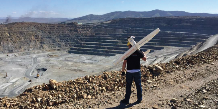
- A joint initiative by the Czech Research Institute of Geology, Topography and Cartography and local drone service provider UpVision led by the Czech State Administration of Land Surveying and Cadastral to approve the use of drones for cadastral mapping.
- Following a study by the Czech Institute for Soil and Water Conservation on using drones to survey an area’s drainage system, the country has shifted away from mapping by random aircraft-based survey flights towards more efficient, accurate and targeted UAS flights.
- UpVision, in conjunction with the Institute of Geodesy and Mine Surveying at the Technical University of Ostava, demonstrated the feasibility of using UAS photogrammetry to regularly inspect railways and their surroundings for rock displacements, slope stability, and changes in the terrain.
- In the heavily forested border between the Czech Republic and Germany, Czech electricity provider CEZ is using drones to fly between branches and under the canopy to better inspect powerlines.
- The Lafarge cement plant is using drones to provide up-to-date information on inventory levels at its numerous locations across the Czech Republic.
The plan to fully integrated U-space services to enable BVLOS and autonomous flights is expected to foster many more opportunities for commercial drone solutions and drone enterprises operating within the country.
For more information visit: