



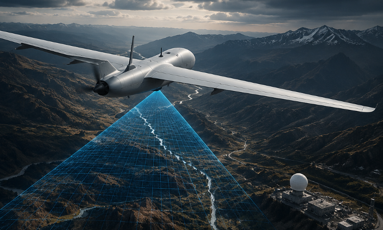
Bengaluru-based Endee Labs has developed a GPS-denied visual navigation system that enables drones and autonomous platforms to determine their precise position using onboard vision instead of satellite signals.
The AutoNav system features Endee’s proprietary visual AI model, purpose-built for GPS-independent navigation in real-world operating environments. It as been engineered to maintain reliable localisation across seasonal changes, evolving terrain, day and night operations, low-light environments, and challenging weather conditions including rain, fog and haze.
AutoNav is delivered as a compact onboard hardware module that complements existing GPS receivers, enabling transition between satellite-assisted and vision-based navigation whenever GPS signals are degraded, spoofed or unavailable. The module integrates with MAVLink-compatible autopilots. The system continuously converts live camera imagery into vector embeddings and matches them against a pre-indexed visual reference map using the company’s vector database.
The technology is currently in pilot deployment with drone manufacturers and defence technology companies to support reconnaissance, surveillance, autonomous inspection, logistics and other applications in GPS-denied and GPS-degraded environments.
Endee Labs plans to expand pilot deployments throughout 2026 while working with defence, aerospace and commercial partners in India and international markets.
For more information