


Censys Technologies is to host a public demonstration of a live, long-range beyond visual line of sight (BVLOS) mission at its Daytona Beach headquarters on February 12.
The live operation will showcase a 36-mile flight to demonstrate what is possible in United States airspace today under existing FAA Part 107 approvals.
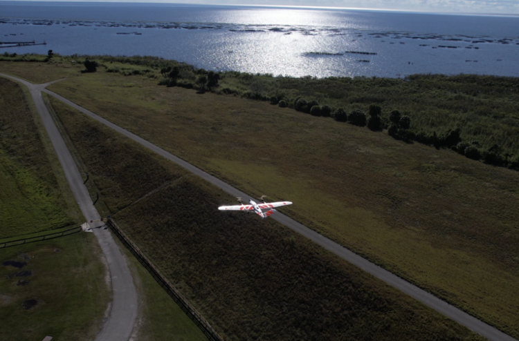
During the demonstration, the Sentaero 6 uncrewed aerial system (UAS) will launch from an automated EdgeDock, transit Class C controlled airspace, cross major roadways and fly over populated areas to conduct corridor-scale vegetation management inspections. Equipped with LiDAR and RGB payloads, the UAS will also demonstrate how it captures the critical data needed to secure the modern power grid.
Rather than treating drones as isolated tools, the model demonstrated by Censys represents a networked approach to aerial intelligence that is designed to operate continuously across regions.
On February 12, attendees will tour the company’s facility and witness the ‘lifecycle’ of a BVLOS operation, including FAA-approved procedures, launch and recovery protocols, airspace transitions, in-flight data assurance and post-flight processing, followed by a Q&A and interview opportunities.
For more information