


In cooperation with 7ITSNEWS https://www.7its.com/?m=home&c=View&a=index&aid=29447
In China, public authorities are developing increasingly complex drone operations to support public safety and road traffic management operations. Drone technology is evolving through the “getting airborne,” “managed operations,” and “intelligent applications” stages to now “intelligent aerial smart traffic management”, requiring wider and deeper expansion.
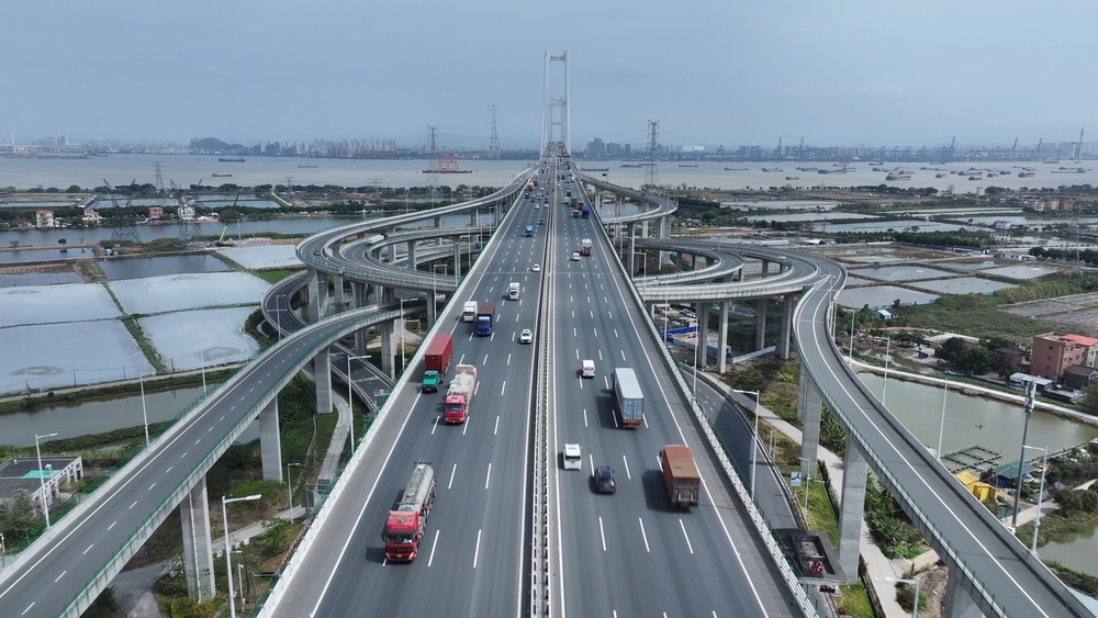
Public authorities are now developing application systems covering the entire traffic management process, including pre-incident prevention, during-incident response, and post-incident optimization. In this area, drones have been deployed in several practical scenarios.
- Rapid accident handling and clearance. In this scenario, drones are being used to quickly reach the scene, transmit panoramic images, and assist command decision-making. They can also efficiently conduct site mapping via oblique photography to secure evidence and guide involved vehicles to evacuate, preventing secondary accidents.
- Address blind spots of fixed surveillance, accurately capturing violations such as illegal use of emergency lanes or reversing on highways. Drones are enabling real-time AI recognition and data entry, proactively detecting road damage and facility abnormalities from a “bird’s-eye view,”helping to generate measurable real-scene 3D models to support maintenance decisions.
- Patrol and traffic flow monitoring. Here, drones serve as dynamic sensing nodes to monitor real-time traffic flow, integrating AI to assess traffic conditions, enabling signal optimization and traffic diversion.
- Traffic safety awareness. Drones are helping safety organisations innovate publicity methods via hovering broadcasts and nighttime light shows, enhancing the reach and impact of safety campaigns.
- Safety protection and early warning. Drones are being used to establish multi-dimensional audio-visual warnings at accident sites, monitoring. approaching traffic in real time to improve on-site safety.
As well as widening the scope of drone-use, road traffic safety organisations are deepening the technology support systems by building an Integrated “Data-Algorithm-Platform” system. To address current technical and management challenges, vertical deepening focuses on five key areas:
- AI algorithm enhancement utilizing computer vision and cross-modal data fusion for real-time video analysis which transforms raw data into actionable insights for operational use.
- Multi-platform integration establishes unified data standards and integration platforms, incorporating drone sensing capabilities into overall police command systems for coordinated operations.
- Precise functional positioning aligns drone functions with the full workflow: pre-analysis, incident response, and post-review, ensuring seamless integration of technology and practical needs.
- Optimized drone selection and deployment matches drone types to environments (e.g., highways vs. urban areas).
- Selection of routine monitoring points at key locations to improve data collection efficiency.
The overall concept is the development of an “Aerial Police Assistant” which transform drones into smart hubs capable of data collection, edge computing, and two-way interaction, elevate drones from tools to operational units.
Drones enable intensive application with “one flight, multiple functions,” addressing issues of data fragmentation and poor coordination. They represent a key practice in implementing integrated command and operations.
Looking ahead, the integration of 5G/6G, digital twin technologies, and drones will enable collaborative drone swarms and high-fidelity simulations. This will provide sustained momentum for building smart traffic systems and modernizing governance capabilities in road traffic management.
(Image: Shutterstock)