


FlytBase has formed a partnership with GEOINN, a Costa Rica-based geospatial solutions provider, to provide drone automation in place of manual surveys for environmental, infrastructure and security operations across Central America.
By combining FlytBase’s drone autonomy software with GEOINN’s experience in geospatial services, drone mapping and remote sensing, the partnership aims to provide a unified solution that enables users to automate aerial data collection and streamline their operations across use cases.
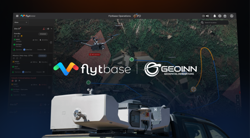
FlytBase’s software platform allows users to plan, schedule, and monitor drone operations remotely, reducing the need for manual oversight and supporting consistency in data capture. To overcome the common challenge of managing large volumes of data after each mission, the platform offers Flinks, or one-click third-party integrations with systems like Pix4D, DroneDeploy, and Esri. These integrations can help users automatically sync and process imagery, reducing the time and effort typically spent on manual uploads and transitions between systems.
Additionally, the FlytBase Shield security framework provides encrypted communication, role-based access and flexible deployment options such as on-premises and air-gapped environments. Certified under ISO 27001, SOC 2 Type II, and GDPR, it has been designed to ensure that drone operations meet global standards for data protection and privacy.
For more information