The Egnos Civil Aviation Roadmap (ECARO) project at Grottaglie Airport in Italy has just concluded. Results were shared during the online conference GNSS-Based Autonomous UAS Flight – Demo Day on 24 June 2021. The event was attended by representatives of EUSPA (European Union Agency for the Space Programmes), ENAC, Aeroporti di Puglia, DTA (Distretto Tecnologico Aerospaziale), ASI (Italian Space Agency), D-Flight participated along with the ECARO Consortium Partners, coordinated by ENAV.
According to the press report, the ECARO project demonstrated that the European GNSS systems (EGNOS and Galileo), in addition to GPS, are capable of ensuring drones can perform safe satellite-based approach procedures, a capability required to include and integrate drones in controlled airspace.
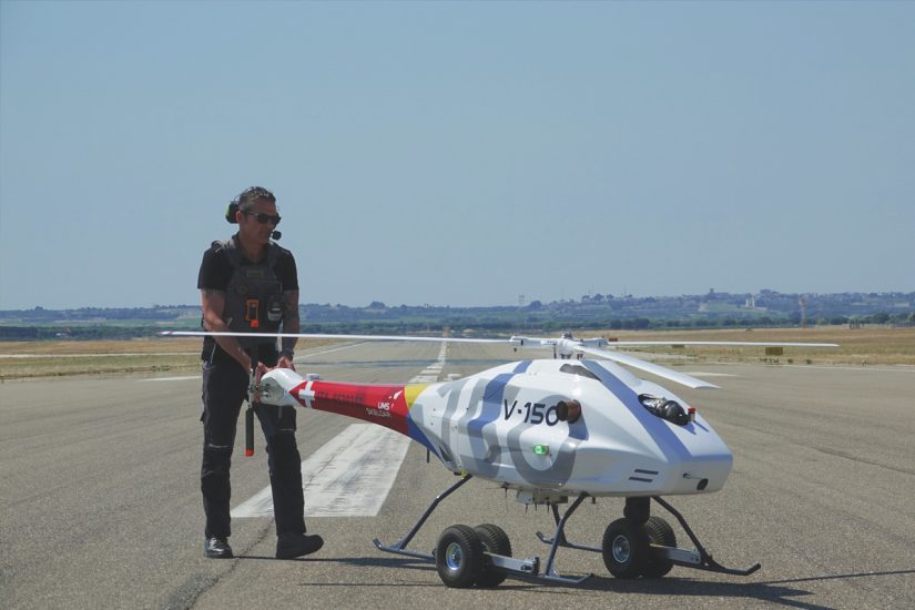
The flight test campaign on satellite procedures tested the application of civil aviation flight procedures by using Swiss UMS Skeldar drone the V-150, in order to demonstrate its integration into an airport environment and the benefits obtained from the exploitation of the European GNSS systems EGNOS and Galileo.
For more information visit: